Gällihorn Hike

Activity overview
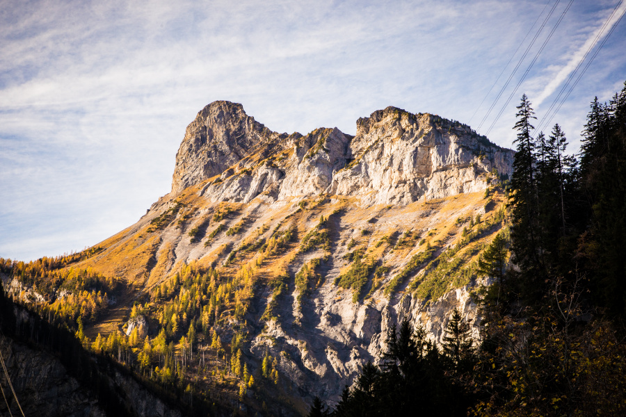
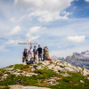
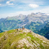
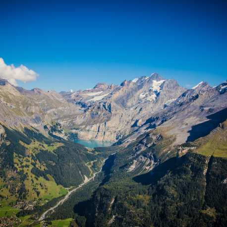
A tooth shaped rocky peak that dominates the views to the south of the Kander valley.
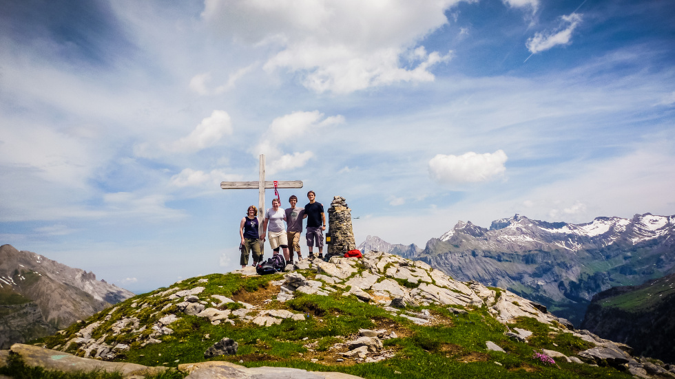
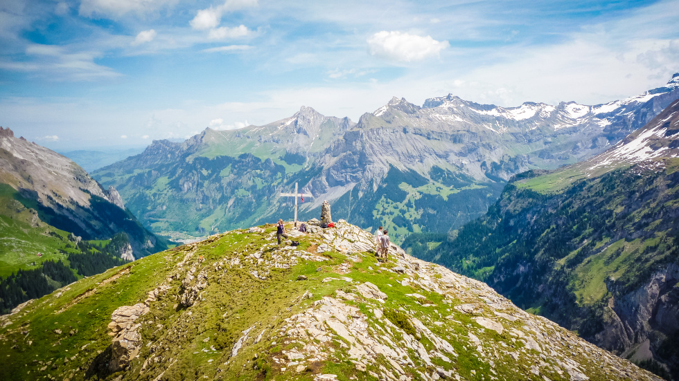
Gällihorn is the northernmost point of the Üeschenegrat that stands between the valleys of Üschene and Spittelmatte. The north face of Gällihorn drops steeply down to the Kander valley, but the ascent from the Üeschene (the back path) is less exposed. The approach to the shoulder (2165m) is still long but from the summit (2284m) there are awesome views to the east, north and west.
Schedule
Times might change according to the weather and the group’s ability.
| 08:30 | Leave KISC |
| 10:00 | Enter the Ueschinen valley |
| 11:00 | Cross the river up and hike up to Gällihorn |
| 13:00 | Arrive at Gällihorn |
| 13:30 | Begin walking down to KISC |
| 17:00 | Arrive back to KISC |
Important information
- You need to fill in the route card at reception, before your departure.
- Please check at reception for the route conditions as they are reviewed regularly.
- Leaflets containing more information on the exact route can be found in reception.
Equipment
- Rucksack - 20 to 40 litres
- Hiking boots with ankle support (no trainers)
- Waterproof jacket and waterproof trousers
- Warm clothing - long trousers, fleece, warm hat and gloves (no jeans)
- Sun protection - sun cream, sunglasses, sun hat
- Water bottle - 2 litres
- Food - packed lunch and snacks
- Personal medication (asthma inhalers, etc.)
- Pocket money (optional)
- First aid kit
- Hiking map, compass and whistle
- Mobile phone
Awards & Badges
You can get closer to achieving the following awards and badges, by completing this activity:
Activity
Season
Autumn (Sep, Oct, Nov)
Spring (Mar, Apr, May)
Summer (Jun, Jul, Aug)
Guidance
Self-guided
Location
Kandersteg surroundings
Duration
3 hours 45 minutes from Kandersteg (one way)
Difficulty
TSA Terrain level
2
Price adult
Free
Price child
Free
Programme theme
High Adventure
Category
Hiking
Suitability
Explorers
Rovers
Group size
no limit
Minimum age limit
from 14 years